
Peter Trehearn spent 30 years working at Brisbane Grammar School’s Outdoor Centre and regularly took boys up Mt Greville, Mt Edwards and Mt Moon. That accounts for most of his 250 ascents of Mt Greville and Mt Edwards and about 200 ascents of Mt Moon. He has also completed about 60 ascents of Mt Barney and many walks on the Main Range and Lamington National Park.
Peter has walked most of the Great walks in Queensland and all but one of the Great Walks in New Zealand.
Since his retirement he’s walked coast to coast in the United Kingdom, 16 days across south-west France, 23 days on the Bibbulman Track in Western Australia, Great Ocean Walk in Victoria, 13 days on the Great south-west walk in western Victoria/South Australia, the Wilderness Walk on Kangaroo Island and the Traverse of the Western Arthurs in Tasmania as well as a number of shorter multi day walks.
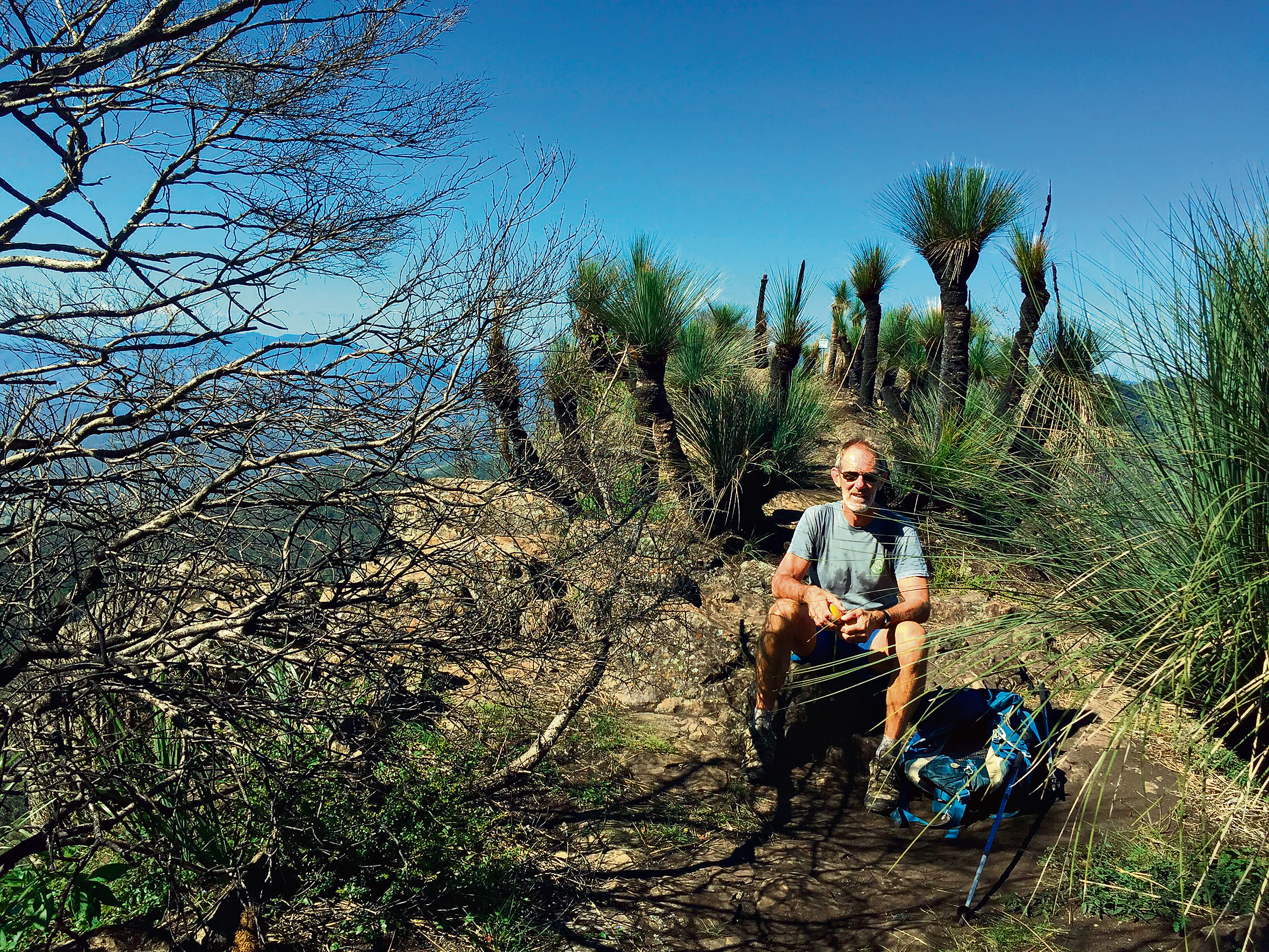
by PETER TREHEARN
It is a beautiful time of the year. If anybody from overseas or interstate asks me when a good time is to visit south-east Queensland, my reply is that May is probably the best month. The nights and early mornings are cool followed by warm, sunny, clear days.
Certainly, it is a good time to think about going for a bushwalk. We are very fortunate in the Scenic Rim as we are surrounded by National Parks with many opportunities for a variety of walks of differing degrees of duration and difficulty. Bushfires and Covid-19 have restricted our adventures but now the crystal-clear outlines of the surrounding hills and mountains beckon.
I have outlined a few of my favourite walks which are achievable to anybody with a reasonable level of fitness.

Mount French
Close to Boonah. From the Dugandan Hotel Mt French Rd climbs the side of Mt French and ends in a car park with toilets and good picnic facilities. A well sign posted short walk leads to a viewing platform with views of Mt Edwards and the Main Range.
Another walk from the picnic area winds it way through scrubby vegetation back to the picnic area. They are both very short walks but lovely to do in the late afternoon or
early morning when the light is at its best.
Mt Edwards
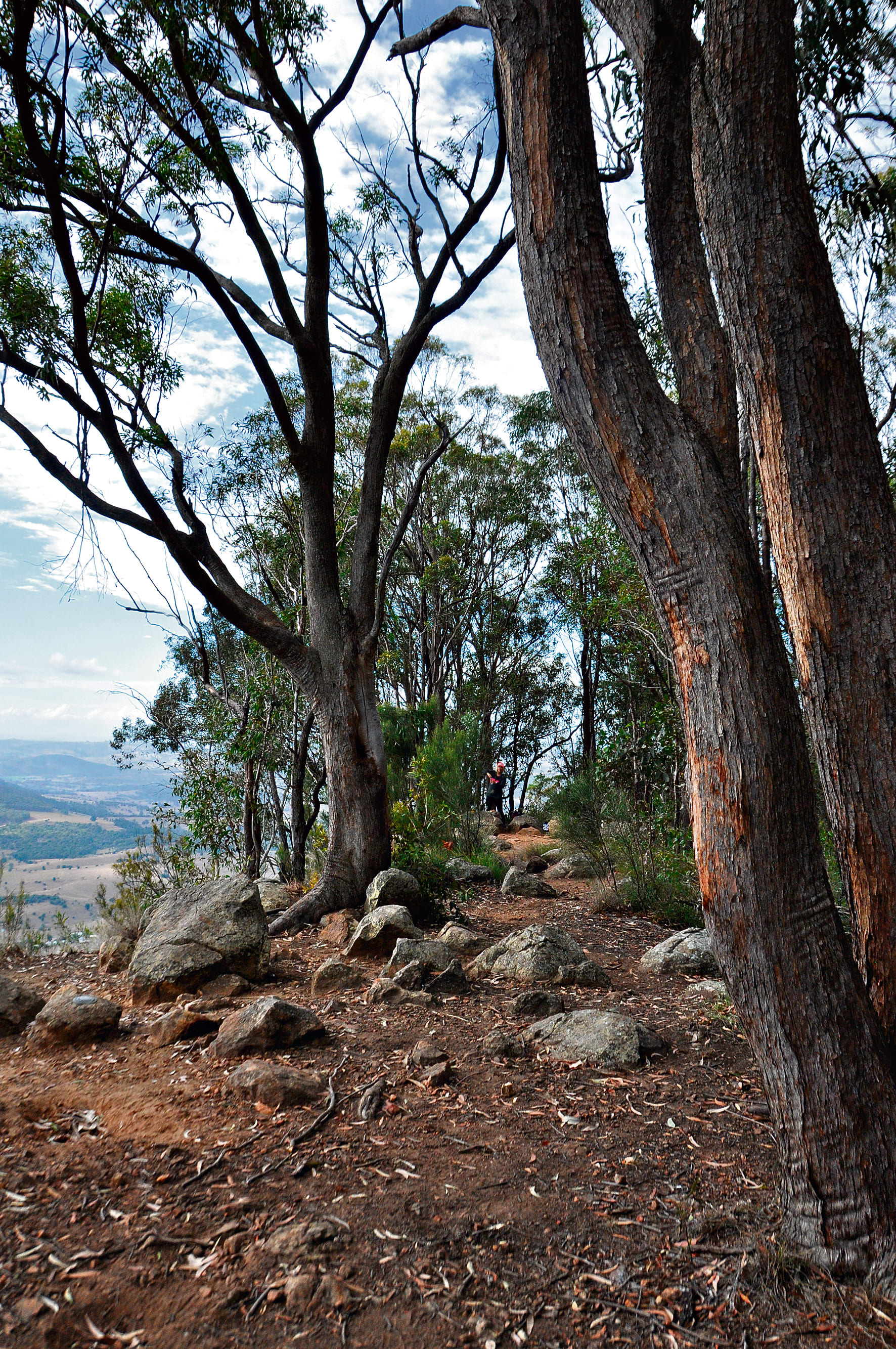
Mt Edwards is accessed by crossing the Dam Wall from Lake Moogerah picnic area. The track winds it way up the slopes of Mt Edwards with the first land mark a lookout over Reynolds Ck where it flows from below the dam wall. The rocky path continues for some time before it flattens somewhat before reaching the summit.
From here there are great views to the north, with the flat top of Mt French prominent. Kalbar and the patchwork of fertile agricultural land is front and centre. With clear skies at this time of the year, a distant view of the high rise buildings of Brisbane are just about guaranteed.
Mt Greville
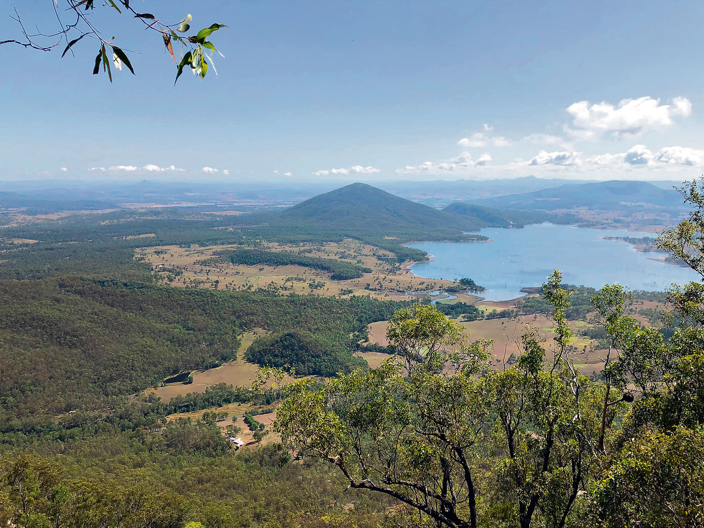
My favourite mountain locally is Mt Greville. It is the mountain that dominates Lake Moogerah and its steep rock faces and similarity to the profile of an elephant make it instantly recognizable.
It is reached by taking the turnoff just past the Lake Moogerah Caravan Park turnoff and following the signs to Mt Greville.
There are a number of routes on the mountain which require a few navigation skills even though there is some National Park signposts. The easiest route is South-Ridge ridge which is signposted and has infrequent rock cairns to guide you. The view from the top takes in the Main Range. As you walk you will pass an unremarkable plant Grevillea linsmithii (no common name). it is listed as endangered, was not formally described until 1986, and Mt Greville is one of its strongholds.
The reason I like Mt Greville is that two other routes on the mountain travel up gorges; Waterfall Gorge and Palm Gorge. Waterfall Gorge has a spectacular waterfall that only runs in very wet weather, a permanent spring that is perfect for a summertime plunge, a spectacular lookout close to the summit that has views of Lake Moogerah and a section that is thick with Piccabeen palms.
Palm Gorge is vegetated with Piccabeens, wild tobacco, Brush Box and other rain forest species.
Mt Mitchell
Mt Mitchell is the southern guardian of Cunningham’s Gap and visible from many aspects.
Follow the Cunningham Highway to a car park at the crest of the range near to the start of the track.
Unfortunately, the fires of late 2019 burnt a great deal of Mt Mitchell and it is not as pleasant as it used to be. Much of the burnt vegetation is eucalypt and coppicing is apparent but it will be some time before it the forest will return to pre 2019 state.
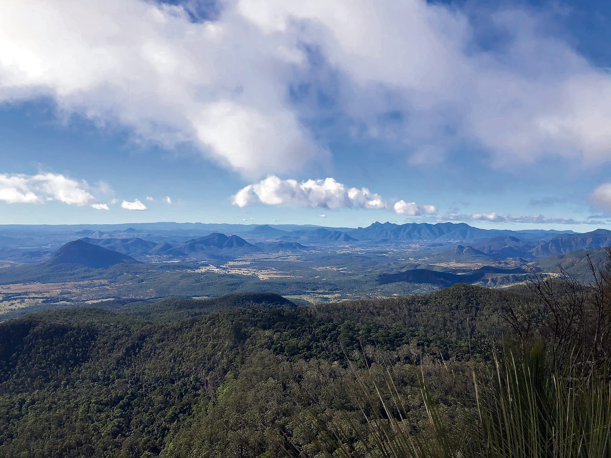
It is still worth the walk because it is an impressive peak with the summit affording expansive views to the east and along the Main range with Spicers Peak in the foreground. Also, more often than not I have seen a Peregrine Falcon, one of Australia’s most impressive birds patrolling the skies and clifflines.
Mt Cordeaux/Bare Rock
Mt Cordeaux is the other guardian of Cunningham’s Gap.
The fires spared Mt Cordeaux to a certain extent. There is more rainforest, so it is definitely a great destination for those seeking a rainforest experience. The walk is a little shorter than the climb up Mt Mitchell and for the history buffs there is a gold mine shaft close to the top. It was also the scene of a very controversial murder/accident in the early Eighties with the body being retrieved by then staff members of Maroon Outdoor Education Centre.
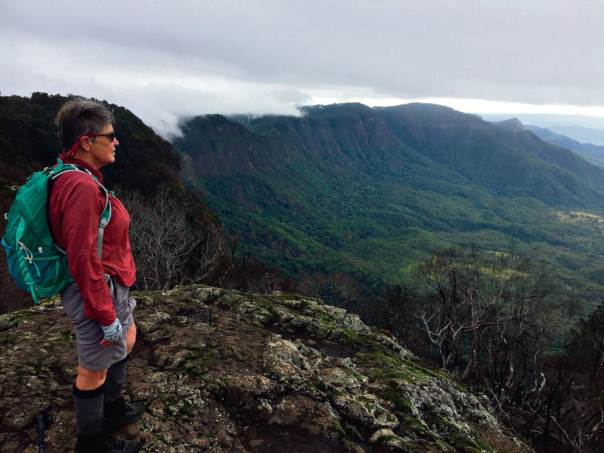
There is a short diversion to a lookout just below the summit and then the track continues to Bare Rock ,some 2.8 kms away. Once again, there is lovely rainforest that escaped the fires and you nearly always see or at least hear a Lyre bird along this part of the track. Bare Rock is a rocky outcrop right on the edge of the ramparts that copped the full force of the fires coming up from the east. What little vegetation that was there is now destroyed.
The views are still the same and a favourite activity is to consult the calendar and arrive here just before sundown. Enjoy picnic dinner, watch the sun set, then turn around and watch the full moon rise. Using head torches, hike back and you are usually treated to a display of glow worms further down the track. Quite often, other creatures are encountered that are not out and about during the daylight. Kids love the experience.
Mt Matheison
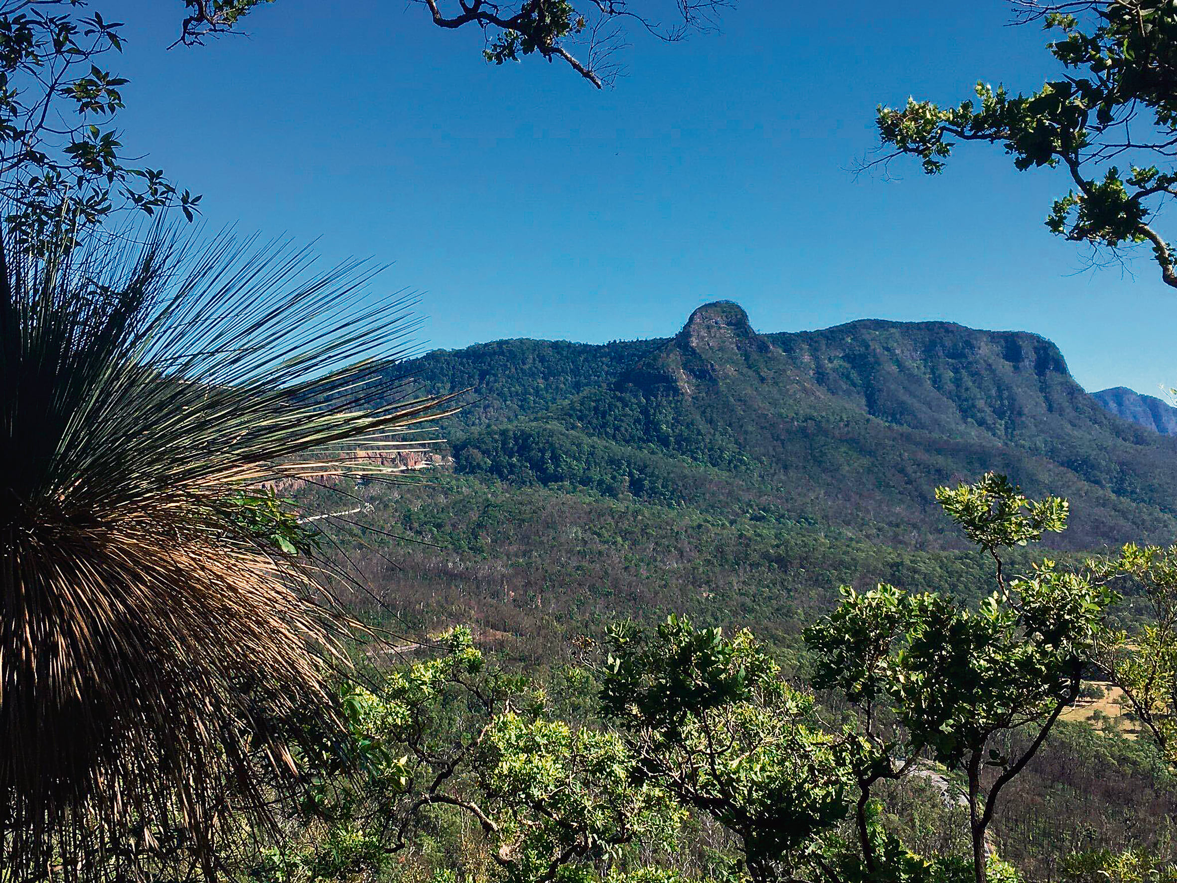
This fairly inconspicuous peak is reached by driving to the camping area at Spicers Gap. The track starts across the road. It traverses through open eucalypt forest and gradually arrives at a high point overlooking the highway and then continues along a ridge. The track passes through a little bit of rainforest before arriving at the old road that travelled from east to west through Spicers Gap.
Information stations along this section attest to the historical importance of the road built during the pioneering days.
Eventually you arrive at Governors Chair which is a perfect spot for lunch or morning tea. A 20 minute walk down the road brings you back to the car.
The fires did not affect this walk too much at all and it is a little shorter than the previous two.
These are most of the easier walks around Boonah. There are many more and the Main Range and the Mount barney area offer many opportunities for the keen bushwalker. There are guide books available if you require more detail. We are lucky to have Teresa Cause who run the Outdoor Store in town “Outdoors and More” who is very knowledgeable about local walks.


